- Click on images to read map details and size
- Click on "template" to read the template source that generated the map. You can use templates as examples for requesting new maps.
Region: US_PR_PUE
Longitude -67.367 to -65.166 Latitude 17.8 to 18.5 (template)
This is a detailed map of the Puerto Rico USA and Vieques and culebra island. For all Hang Glider Pilots locals and visitors, welcome.
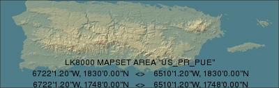
Terrain 250m DEM: US_PR_PUE_250.DEM
Topology: US_PR_PUE.LKM
This page was generated automatically by DoLKMaps on Fri Feb 17 18:47:03 CET 2017